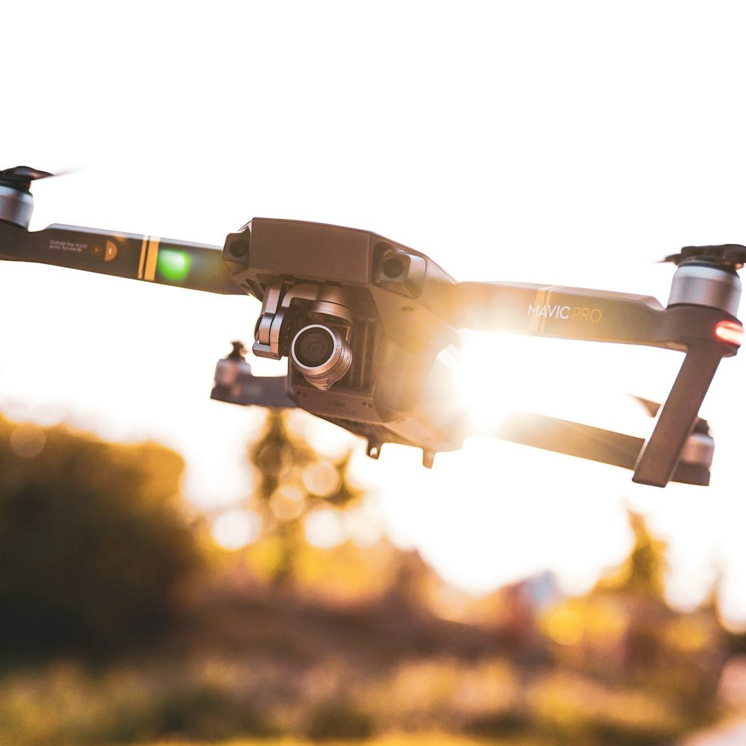
Innovative Drone Data Engineering
ALBA Digital Ltd. delivers survey-grade structural inspections, advanced sub-surface thermal diagnostics, and ultra-high-definition video and images across South East England, London and Kent. We eliminate the need for high-risk scaffolding, cherry-pickers, dangerous ladders, manual roof climbing, delivering centimeter-accurate intelligence from a completely non-intrusive, ground-isolated footprint.
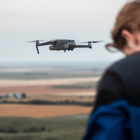
High-Tech Drone Solutions for Precision Data
Alba Digital combines expertise in drone engineering and scientific analysis to provide highly accurate aerial surveys and thermal imaging reports. Our innovative approach ensures reliable data capture that drives informed decisions across industries.
- Fast Deployment: Drone data captured in hours, keeping your operations moving.
- Millimeter Accuracy: Advanced photogrammetry and GIS deliverables.
- Fully Certified & Insured: Licensed pilots operating with strict safety compliance.

241+
Successful Drone Projects
34+
Thermography Reports Delivered
12
Years of Technical Expertise
Non-Destructive Surveys
Safe, efficient aerial data collection without impacting your propert, site or environment.
- Precision Thermal Mapping: We utilize advanced sensors to capture high-resolution radiometric data, allowing for exact temperature measurements across every pixel.
- Predictive Maintenance: By identifying "invisible" anomalies - such as moisture ingress, heat loss, or electrical faults, solar panels verification - our analysis helps prevent costly structural damage and energy waste.
- Specialized Environmental Insights: Our expertise extends beyond infrastructure to include wildlife monitoring and land management, using thermal signatures to track populations (e.g., deer or birds) with minimal disturbance.
- Certified Reporting: Every survey concludes with a detailed, annotated report that provides a clear roadmap for remediation, ensuring your maintenance decisions are backed by hard data rather than assumptions.
Scientific Thermography
Detailed thermal imaging to detect structural and environmental conditions accurately.
- Radiometric Temperature Mapping: We capture exact temperature values for every individual pixel within an image, rather than just basic qualitative color changes.
- Post-Flight Thermal Tuning: We process raw data using specialist software to fine-tune temperature spans, isolate anomalies, and eliminate environmental interference like atmospheric humidity.
- Emissivity and Reflection Correction: Our skilled thermographers calibrate data to account for different surface materials (e.g., metal versus concrete), preventing false readings from reflective glare.
- Photogrammetry Integration: We overlay calibrated thermal layers onto high-resolution 3D digital twins and orthomosaic maps for comprehensive spatial analysis.
OUR CORE TECHNICAL SERVICES
1. Radiometric Sub-Surface Moisture Detection & Water Ingress Mapping
Water leaks rarely start where they drop inside a building. On large flat roofs, warehouse felt layers, or commercial membrane structures, water tracks hidden pathways beneath the surface. Our high-resolution thermal imaging catches the thermal mass differences of trapped, rotting sub-surface moisture. We find the exact point of ingress before it destroys internal electrical systems or ceilings.
2. Energy Loss, Insulation Voids & Thermal Barrier Auditing
Stop letting heat and money leak out of your building envelope. Our diagnostic flights identify missing cavity insulation, compromised structural seals, missing cladding components, and cold-bridging anomalies. We provide actionable data maps that help asset managers instantly lower energy costs and hit corporate carbon reduction targets.
3. Solar PV Panel Array Fault Optimization
A single micro-crack, bypassed diode, or faulty connection string can degrade an entire solar array’s output by up to 30%. Manually testing panels takes days. ALBA Digital sweeps extensive commercial rooftop solar arrays or ground farms in minutes. Our thermal sensors isolate defective "hot-spots," bypass issues, and manufacturing flaws instantly for warranty claims.
4. High-Resolution 3D Digital Twins & Roof Condition Surveys
Using the 56x hybrid zoom optics on our fleet, we scan chimneys, high parapets, flashing joins, gutter configurations, and lightning arrestors from safe distances. We process this visual data into interactive, accurate 3D models and high-resolution maps. This gives structural engineers and roofing contractors perfect visual access to any square inch of a property without ever setting foot on a ladder.
Complete CAA Legal Compliance
We operate fully within the UK Civil Aviation Authority (CAA) Open Category Framework (C2 Subcategory), and hold verified A2 Certificates of Competence (A2 CofC). Every site deployment is backed by a permanent £5,000,000 Commercial Public Liability Policy compliant with EC Regulation No 785/2004.
ALBA Digital Ltd. Engineering & Infrastructure Aerial Intelligence
Telephone: 07907131491
E-mail: office@albadigital.org
Address: Hastings, East Sussex, UK